Bethel, Ohio
| Bethel, Ohio | |
|---|---|
| Village | |
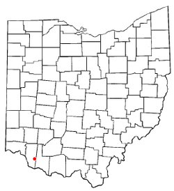
 Location of Bethel, Ohio |
|
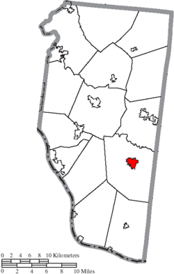
 Location of Bethel in Clermont County |
|
| Coordinates: 38°57′47″N 84°4′54″W / 38.96306°N 84.08167°WCoordinates: 38°57′47″N 84°4′54″W / 38.96306°N 84.08167°W | |
| Country | United States |
| State | Ohio |
| County | Clermont |
| Township | Tate |
| Area | |
| • Total | 1.41 sq mi (3.65 km2) |
| • Land | 1.40 sq mi (3.63 km2) |
| • Water | 0.01 sq mi (0.03 km2) |
| Elevation | 883 ft (269 m) |
| Population (2010) | |
| • Total | 2,711 |
| • Estimate (2012) | 2,732 |
| • Density | 1,936.4/sq mi (747.6/km2) |
| Time zone | Eastern (EST) (UTC-5) |
| • Summer (DST) | EDT (UTC-4) |
| ZIP code | 45106 |
| Area code(s) | 513 |
| FIPS code | 39-06068 |
| GNIS feature ID | 1064426 |
| Website | http://www.bethel-oh.gov/index.asp |
Bethel is a village in Clermont County, Ohio, United States. The population was 2,711 at the 2010 census. Bethel was founded in 1798 by Obed Denham as Denham Town, in what was then the Northwest Territory. Bethel is the home of the first movie theater in Ohio which was founded in 1908 by Aaron Little. It is home to the Starlite Drive-In, one of the few remaining drive-in theaters in the United States.
Bethel corporation limit sign.
Looking west on East Plane Street in Bethel.
The Starlite Drive-In.
The Starlite Drive-In.
Bethel was originally called Plainfield, and under the latter name was platted in 1798. The town site was replatted in 1802 under the name Bethel. The present name is after Bethel, a city in the Hebrew Bible. A post office called Bethel has been in operation since 1815.
Bethel is located at 38°57′47″N 84°4′54″W / 38.96306°N 84.08167°W (38.963171, -84.081787).
According to the United States Census Bureau, the village has a total area of 1.41 square miles (3.65 km2), of which 1.40 square miles (3.63 km2) is land and 0.01 square miles (0.03 km2) is water.
As of the census of 2010, there were 2,711 people, 1,052 households, and 681 families residing in the village. The population density was 1,936.4 inhabitants per square mile (747.6/km2). There were 1,182 housing units at an average density of 844.3 per square mile (326.0/km2). The racial makeup of the village was 97.3% White, 0.4% African American, 0.1% Native American, 0.1% Asian, 0.4% Pacific Islander, 0.1% from other races, and 1.6% from two or more races. Hispanic or Latino of any race were 1.0% of the population.
...
Wikipedia
