Bathurst Island Airport
| Bathurst Island Airport | |||||||||||
|---|---|---|---|---|---|---|---|---|---|---|---|

Bathurst Island runway approach, 2011
|
|||||||||||
| Summary | |||||||||||
| Airport type | Public | ||||||||||
| Operator | Tiwi Island Shire Council | ||||||||||
| Serves | Bathurst Island, Australia | ||||||||||
| Location | Wurrumiyanga | ||||||||||
| Elevation AMSL | 67 ft / 20 m | ||||||||||
| Coordinates | 11°46′09″S 130°37′11″E / 11.76917°S 130.61972°ECoordinates: 11°46′09″S 130°37′11″E / 11.76917°S 130.61972°E | ||||||||||
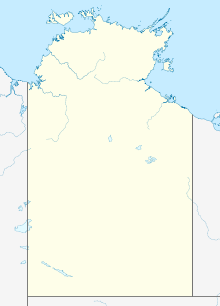
| Map | |||||||||||
| Location in the Northern Territory | |||||||||||
| Runways | |||||||||||
|
|||||||||||
|
Sources: Australian AIP and aerodrome chart
|
|||||||||||
Bathurst Island Airport (IATA: BRT, ICAO: YBTI) is located at Wurrumiyanga, on the south east coast of Bathurst Island, Australia. The airport has a sealed runway, which is 1,470 m × 30 m (4,823 ft × 98 ft), making it unsuitable for larger commercial jets. However, there are regular, smaller commercial tours to the island. Bathurst Island Airport is 80 km (50 mi) from Darwin International Airport.
The Royal Australian Air Force utilised the airfield during World War II.
...
Wikipedia

