August 2016 Central Italy earthquake
![USGS shakemap of the earthquake.[1]](http://upload.wikimedia.org/wikipedia/commons/thumb/1/13/Shakemap_Earthquake_24_Aug_2016_Italy.jpg/260px-Shakemap_Earthquake_24_Aug_2016_Italy.jpg) |
|
| Date | 24 August 2016 |
|---|---|
| Origin time | 01:36:33 UTC |
| Magnitude | 6.2 ± 0.016 Mw |
| Depth | 4 ± 1 km (2.49 ± 0.62 mi) |
| Epicenter | 42°42′22″N 13°13′23″E / 42.706°N 13.223°ECoordinates: 42°42′22″N 13°13′23″E / 42.706°N 13.223°E |
| Type | Normal |
| Areas affected | Italy |
| Max. intensity | IX (Violent) |
| Casualties | 299 deaths ≈ 388 injured 4,500 homeless |
An earthquake, measuring 6.2 ± 0.016 on the moment magnitude scale, hit Central Italy on 24 August 2016 at 03:36:32 CEST (01:36 UTC).
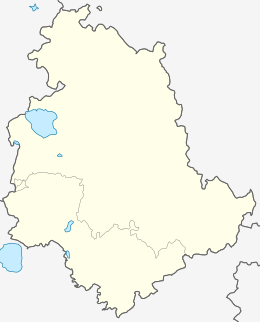
Its epicentre was close to Accumoli, with its hypocentre at a depth of 4 ± 1 km, approximately 75 km (47 mi) southeast of Perugia and 45 km (28 mi) north of L'Aquila, in an area near the borders of the Umbria, Lazio, Abruzzo and Marche regions. As of 15 November 2016[update], 299 people have been killed.
The central Apennines is one of the most seismically active areas in Italy. The Apennines mountain belt were formed in the Miocene to Pliocene as a result of the ongoing subduction of the Adriatic Plate beneath the Eurasian Plate, forming a fold and thrust belt. During the Quaternary, thrust tectonics gave way to extensional tectonics, with the development of a zone of normal faulting running along the crest of the mountain range. The extension is a result of either subduction rollback or the opening of the Tyrrhenian Sea. In the Central Apennines the zone of extension is about 30 km wide, closely matching the zone of observed extensional strain as shown by GPS measurements. Recent large earthquakes in this area have been caused by movement on SW-dipping normal faults.
...
Wikipedia


