A229
| A229 | |
|---|---|
 |
|

|
|
| Route information | |
| Length: | 28.9 mi (46.5 km) |
| Major junctions | |
| North end: |
Rochester 51°23′00″N 0°30′32″E / 51.3833°N 0.5088°E |
|
|
|
| South end: |
Cooper's Corner 51°01′29″N 0°28′10″E / 51.0246°N 0.4694°E |
| Location | |
|
Primary destinations: |
Hastings Maidstone |
| Road network | |
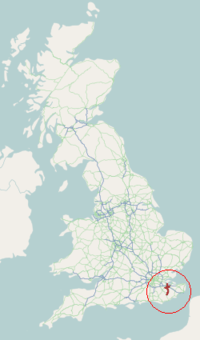
The A229 is a major road running north-south through Kent.
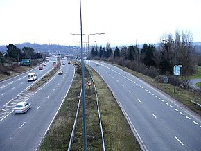
The road begins in the Medway town of Rochester at the foot of Star Hill forming a junction with the A2 road. It then climbs up through the built-up area of Chatham, passing Troy Town and Rochester Airport before descending the slope of the North Downs at Blue Bell Hill. As it reaches the summit of the climb there is the first of two complicated series of junctions, this with the M2 motorway. Below the road as it descends is the tunnel carrying High Speed 1. Once into the Medway Valley the northern outskirts of Maidstone are reached; and a second series of junctions, this time with the M20 motorway are reached.
Six miles (10 km) from its start, the A229 traverses Maidstone through the suburbs of Sandling and Ringlestone to the north; when the road reaches the right bank of the River Medway it is joined by the A26 road from the west. The road skirts the town and begins to climb - this time up to the Greensand Ridge. Here the road leading to Tenterden (the A274) forms a left-hand junction. The summit is reached at Loose, built on the southern slope; next, also on a hillside, is Linton; at the foot of that hill the road enters the broad valley of the River Beult, one of the main tributaries of the River Medway. Nine miles (14 km) from the start, the large linear village of Staplehurst is reached, standing on its own piece of higher ground above the plain.
...
Wikipedia

