2010 Baja California earthquake

USGS shake map for the mainshock
|
|
| Date | April 4, 2010 |
|---|---|
| Origin time | 22:40:41 UTC |
| Duration | 89 seconds |
| Magnitude | 7.2 Mw |
| Depth | 10 km (6.2 mi) |
| Epicenter | 32°08′N 115°18′W / 32.13°N 115.30°WCoordinates: 32°08′N 115°18′W / 32.13°N 115.30°W |
| Type | Oblique-slip |
| Areas affected | Mexico, United States |
| Total damage | $1.15 billion |
| Max. intensity | VII (Very strong) |
| Tsunami | No |
| Landslides | Yes |
| Aftershocks | Yes |
| Casualties | 2–4 dead 100–233 injured |
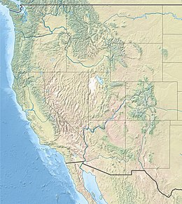
The 2010 Baja California earthquake (also known as 2010 Easter earthquake, 2010 Sierra El Mayor earthquake, or 2010 El Mayor – Cucapah earthquake) occurred on April 4 (Easter Sunday) with a moment magnitude of 7.2 and a maximum Mercalli intensity of VII (Very strong). The shock originated at 15:40:41 local time south of Guadalupe Victoria, Baja California, Mexico.
The 89-second quake was widely felt throughout the Western United States, some southern states, and northwest Mexico. It was also the strongest to rock Southern California in at least 18 years (since the 1992 Landers earthquake (M 7.3)), if not longer: the next most recent comparable earthquake—the 1952 Kern County earthquake (M 7.3)—was 58 years earlier. Each of these earthquakes had a similar magnitude, and was also felt across a large swath of North America. Most of the damage occurred in the twin cities of Mexicali and Calexico on the Mexico–United States border.
The quake is believed to have occurred on the Laguna Salada Fault, which is about 60 kilometers (37 mi) to 80 km (50 mi) long and straddles the California–Baja California border. The active Laguna Salada Fault ruptured in February 1892 with an estimated Mw 7.2 earthquake.
By the distribution of aftershocks and using radar interferometry, the main shock rupture was found to have occurred on a previously unmapped fault in the Cucapa Mountains and beneath the Colorado River Delta. This fault line was named the Indiviso Fault, after the nearby town of El Indiviso. A liquefaction zone bounded by the Cerro Prieto Fault and the Laguna Salada Fault was observed.
...
Wikipedia

