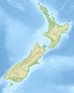
1931 Napier earthquake
 |
|
| UTC time | 1931-02-02 22:46:52 |
|---|---|
| ISC event | 906607 |
| USGS-ANSS | ComCat |
| Local date | 3 February 1931 |
| Local time | 10:47 NZDT |
| Magnitude | 7.8 Ms |
| Depth | 20 km (12 mi) |
| Epicenter | 39°18′S 177°00′E / 39.3°S 177.0°ECoordinates: 39°18′S 177°00′E / 39.3°S 177.0°E |
| Areas affected | New Zealand |
| Casualties | 256 dead, thousands injured |
The 1931 Hawke's Bay earthquake, also known as the Napier earthquake, occurred in New Zealand at 10:47 am on 3 February, killing 256, injuring thousands and devastating the Hawke's Bay region. It remains New Zealand's deadliest natural disaster. Centred 15 km north of Napier, it lasted for two and a half minutes and measured magnitude 7.8 Ms (magnitude 7.9 Mw). There were 525 aftershocks recorded in the following two weeks, with 597 being recorded by the end of February. The main shock could be felt in much of New Zealand, with reliable reports coming in from as far south as Timaru, on the east coast of the South Island.
New Zealand lies along the boundary between the Indo-Australian Plate and Pacific Plates. In the South Island most of the relative displacement between these plates is taken up along a single dextral (right lateral) strike-slip fault with a major reverse component, the Alpine Fault. In the North Island the displacement is mainly taken up along the Hikurangi Subduction Zone, although the remaining dextral strike-slip component of the relative plate motion is accommodated by the North Island Fault System (NIFS).
The earthquake is thought to have occurred on one of the larger thrust faults within the accretionary wedge, at between ca. 5 km depth and ca. 20–25 km depth (which is the approximate depth of subducted Pacific plate at that location).
...
Wikipedia

