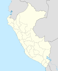
Ñañu Wayq'u
| Nañuhuaico | |
|---|---|
| Highest point | |
| Elevation | 4,932 m (16,181 ft) |
| Coordinates | 13°11′57″S 73°04′31″W / 13.19917°S 73.07528°WCoordinates: 13°11′57″S 73°04′31″W / 13.19917°S 73.07528°W |
| Geography | |
| Location | Peru, Cusco Region |
| Parent range | Andes, Vilcabamba |
Nañuhuaico (possibly from Quechua ñañu thin (cylindrical objects), slim, wayq'u brook, "thin brook") is a 4,932-metre-high (16,181 ft) mountain in the Vilcabamba mountain range in the Andes of Peru. It is located in the Cusco Region, La Convención Province, Vilcabamba District. Nañuhuaico lies northwest of a mountain named Soirococha and north of a lake of that name, northeast of Panta.
Nañuhuaico (erroneously spelled Nunahuayco) is also the name of a stream which originates north of the mountain. It is a left affluent of the Hatun Wayq'u ("big brook") in the north whose waters flow to the Apurímac River as a right tributary.
...
Wikipedia

