Yumenoshima
|
Yumenoshima 夢の島 |
|
|---|---|
| District | |

Inside Yumenoshima Park
|
|
| Location in Tokyo | |
| Coordinates: 35°39′00″N 139°49′55″E / 35.65000°N 139.83194°E | |
| Country | Japan |
| Prefecture | Tokyo |
| Area | |
| • Total | 1.53 km2 (0.59 sq mi) |
| Postal Code | 136-0081 |
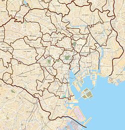
Yumenoshima (夢の島?, literally "Dream Island") is a district in Kōtō, Tokyo, Japan, consisting of an artificial island built using waste landfill.
The island was originally conceived in the 1930s as a site for a new Tokyo Municipal Airport to replace Haneda Airport. The airport plan was finalized in 1938 and work on the island began in 1939, but fell behind schedule due to resource constraints during World War II. The airport plan was officially abandoned following the war, as the Allied occupation authorities favored expanding Haneda rather than building a new airport.
A public beach opened on the island in 1947, at which time the "Yumenoshima" name was adopted. The beach closed in 1950, and from 1957 the island was used for garbage disposal.
Yumenoshima is a fairly small district, and contains:
Today, Yumenoshima also houses the Daigo Fukuryū Maru, a wooden fishing boat exposed to nuclear fallout during the Bikini Atoll test in 1954; the boat was modified as a training vessel following the exposure, and later abandoned near Yumenoshima.
Yumenoshima is set to be the venue for archery events in the 2020 Tokyo Olympics. It will also host archery for the 2020 Paralympics.
Coordinates: 35°39′00″N 139°49′49″E / 35.64990°N 139.83021°E
...
Wikipedia

