Vung Tau Airport
|
Vung Tau Airport Sân bay Vũng Tàu |
|||||||||||||||
|---|---|---|---|---|---|---|---|---|---|---|---|---|---|---|---|
| Summary | |||||||||||||||
| Airport type | Public | ||||||||||||||
| Operator | Southern Service Flight Company | ||||||||||||||
| Serves | Vung Tau, Bà Rịa–Vũng Tàu Province, Vietnam | ||||||||||||||
| Coordinates | 10°22′13″N 107°05′36″E / 10.37028°N 107.09333°ECoordinates: 10°22′13″N 107°05′36″E / 10.37028°N 107.09333°E | ||||||||||||||
| Map | |||||||||||||||
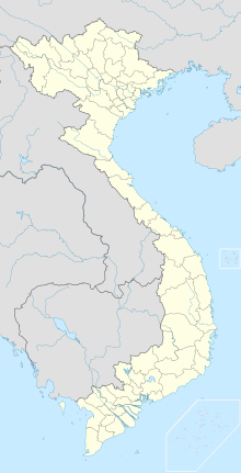
| Location of the airport in Vietnam | |||||||||||||||
| Runways | |||||||||||||||
|
|||||||||||||||
|
Sources: GCM, STV
|
|||||||||||||||
Vung Tau Airport (IATA: VTG, ICAO: VVVT) (Vietnamese: Sân bay Vũng Tàu) is a small airport in southern Vietnam, in the Bà Rịa–Vũng Tàu Province. The airport serves the city of Vũng Tàu and is located near the downtown of the city.
There is a 1,800 m paved runway (as of 2006). The airport is capable of handling small aircraft such as ATR-72 and AN-38.
During the Vietnam War, Vũng Tàu was used as an in-county rest and recreation (R&R) center for U.S. forces operated by the 1st Logistics Command and the airport was used to transport U.S personnel from their units to the R&R center.
The Southern Service Flight Company provides helicopter services for petroleum exploration and production activities offshore of Vũng Tàu.
...
Wikipedia

