Viana, Cape Verde
| Viana | |
|---|---|

Monte Viana
|
|
| Highest point | |
| Elevation | 163 m (535 ft) |
| Coordinates | 16°49′33″N 24°52′33″W / 16.8257°N 24.8759°WCoordinates: 16°49′33″N 24°52′33″W / 16.8257°N 24.8759°W |
| Geography | |
|
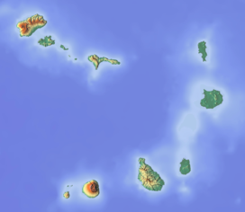
eastern São Vicente island, Cape Verde
|
|
| Geology | |
| Last eruption | approx. 300,000 years ago |
| Climbing | |
| First ascent | no hiking trails |
Viana is a low volcano in the eastern part of the island of São Vicente, Cape Verde. Its elevation is 163 m. It is situated 3 km south of Calhau and 14 km southeast of the island capital Mindelo. To the north is the Calhau volcano. Surrounding geographical features include Topim and Selada da Baleia.
The extinct volcano has a caldera that is around 150-200 meters long and is made up of basanitic ash cone. Its last eruption was a strombolian occurred around 300,000 years ago.
...
Wikipedia

