The Gorge, Shropshire
 |
|
| UNESCO World Heritage Site | |
|---|---|
| Location |
Ironbridge, United Kingdom |
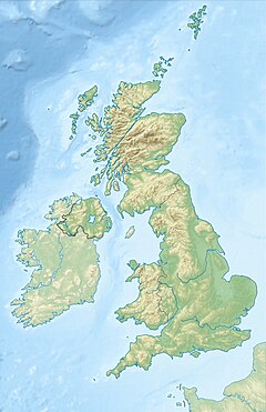
| Coordinates | 52°37′35″N 2°28′22″W / 52.6264°N 2.4728°W |
| Includes |
The Iron Bridge |
| Criteria | i, ii, iv, vi |
| Reference | 371 |
| Inscription | 1986 (10th Session) |
| Website | www |
|
[]
|
|
The Ironbridge Gorge is a deep gorge, containing the River Severn in Shropshire, England. It was first formed by a glacial overflow from the long drained away Lake Lapworth, at the end of the last ice age. The deep exposure of the rocks cut through by the gorge exposed commercial deposits of coal, iron ore, limestone and fireclay, which enabled the rapid economic development of the area during the early Industrial Revolution.
Originally called the Severn Gorge, the gorge now takes its name from its famous Iron Bridge, the first iron bridge of its kind in the world, and a monument to the industry that began there. The bridge was built in 1779 to link the industrial town of Broseley with the smaller mining town of Madeley and the growing industrial centre of Coalbrookdale.
There are two reasons the site was so useful to the early industrialists. The raw materials, coal, iron ore, limestone and clay, for the manufacture of iron, tiles and porcelain are exposed or easily mined in the gorge. The deep and wide river allowed easy transport of products to the sea.
The gorge carries the River Severn south towards the Bristol Channel. It was formed during the last ice age when the water from the previously north-flowing river became trapped in a lake (Lake Lapworth) created when the Irish Sea ice sheet dammed the river. The lake level rose until the water flowed through the hills to the south. This flow eroded a path through the hills, forming the gorge and permanently diverting the Severn southwards.
...
Wikipedia

