Tanaing Township
|
Myitkyina မြစ်ကြီးနားမြို့ |
|
|---|---|
 |
|
| Coordinates: 25°23′0″N 97°24′0″E / 25.38333°N 97.40000°E | |
| Country |
|
| Division | Kachin State |
| District | Myitkyina District |
| Township | Myitkyina Township |
| Population (2014) | |
| • Total | 306,949 |
| • Ethnicities | |
| • Religions | |
| Time zone | MMT (UTC+6.30) |
| Area code(s) | 74 |
| Climate | Cwa |
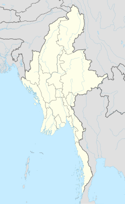
Myitkyina (Burmese: မြစ်ကြီးနားမြို့; MLCTS: mrac kri: na: mrui., pronounced [mjɪʔtɕíná]; Kachin: Myitkyina, [mjìtkjí̠ná]) is the capital city of Kachin State in Myanmar (Burma), located 1,480 kilometers (920 mi) from Yangon, and 785 kilometers (488 mi) from Mandalay. In Burmese it means "near the big river", and Myitkyina is on the west bank of the Ayeyarwady River, just below 40 kilometers (25 mi) from Myit-son (Burmese for confluence) of its two headstreams (the Mali and N'mai rivers). It is the northernmost river port and railway terminus in Myanmar. The city is served by Myitkyina Airport.
Myitkyina has been an important trading town between China and Myanmar since ancient times.
American Baptist missionary George J. Geis and his wife arrived in Myitkyina in the late 1890s and in 1900 they requested a permission to build a mansion there and the building was named Geis Memorial Church It is one of the Kachin Baptist Convention(KBC)churches in Myitkyina.
...
Wikipedia

