Sveti Grgur

Map of Sveti Grgur
|
|
| Geography | |
|---|---|
| Location | Adriatic Sea |
| Area | 6.37 km2 (2.46 sq mi) |
| Highest elevation | 226 m (741 ft) |
| Highest point | Štandarac |
| Administration | |
| Demographics | |
| Population | 0 |
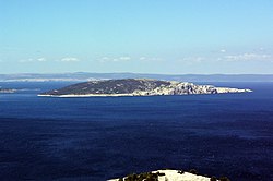
Sveti Grgur (Croatian pronunciation: [svȇtī gr̂guːr], Italian: San Gregorio) is an uninhabited island in Croatia, on the Adriatic Sea between Rab and Krk. The island was the site of a women's prison in communist Yugoslavia from 1948 to 1988.
Coordinates: 44°52′5″N 14°45′33″E / 44.86806°N 14.75917°E
...
Wikipedia

