St Kilda Junction
| St Kilda Junction | |
|---|---|
| Street art precinct | |

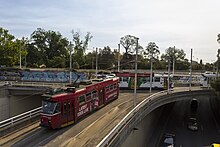
Tram junction at the centre of St Kilda Junction
|
|
| Location | |
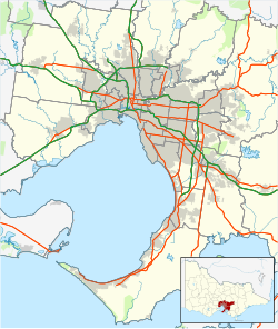
| Melbourne, Victoria, Australia | |
| Coordinates: | 37°51′18″S 144°58′55″E / 37.855°S 144.982°E |
| Roads at junction: |
|
| Construction | |
| Type: | Traffic circle |
| Maintained by: | Department of Transport |
| Map | |
 |
|
Coordinates: 37°51′18″S 144°58′55″E / 37.855°S 144.982°E
St Kilda Junction is a major intersection in Melbourne, Australia. It is located in the suburb of St Kilda, bordering Windsor, Melbourne and St Kilda East, and is the meeting point of the major roads Punt Road, St Kilda Road, Dandenong Road/Queens Way/Princes Highway and Fitzroy Street.
As late as 1966, St Kilda Junction, along with the Haymarket roundabout on Royal Parade, was one of two giant roundabouts with trams running through them in Melbourne.
St Kilda Junction in 1966 was an intersection between eight streets. These were, listed clockwise and starting from the north (with the route shields of the time shown):
The intersection took the form of a large oval roundabout with another road link in the middle between the close edges. The trams from St Kilda Road traversed most of the intersection before splitting into three paths. Things were made all the more difficult by the fact that Queens Road joined the intersection at the point where the left service road of St Kilda Road left it.
...
Wikipedia
