Sky Harbor Airport & Seaplane Base
|
Sky Harbor Airport Sky Harbor Airport & Seaplane Base |
|||||||||||||||||||
|---|---|---|---|---|---|---|---|---|---|---|---|---|---|---|---|---|---|---|---|
| Summary | |||||||||||||||||||
| Airport type | Public | ||||||||||||||||||
| Owner | Duluth Airport Authority | ||||||||||||||||||
| Serves | Duluth, Minnesota | ||||||||||||||||||
| Elevation AMSL | 610 ft / 186 m | ||||||||||||||||||
| Coordinates | 46°43′19″N 092°02′36″W / 46.72194°N 92.04333°W | ||||||||||||||||||
| Website | www.duluthairport.com/... | ||||||||||||||||||
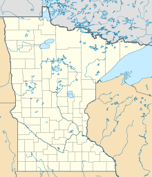
| Map | |||||||||||||||||||
| Location of airport in Minnesota/United States | |||||||||||||||||||
| Runways | |||||||||||||||||||
|
|||||||||||||||||||
| Statistics | |||||||||||||||||||
|
|||||||||||||||||||
|
Sources: Minnesota DOT,FAA, Airport website
|
|||||||||||||||||||
| Aircraft operations (2006) | 13,900 |
|---|---|
| Based aircraft (2016) | 26 |
Sky Harbor Airport & Seaplane Base or Sky Harbor Airport (ICAO: KDYT, FAA LID: DYT) is a public airport in Duluth, Minnesota, United States. It is located near the Wisconsin border, between Superior Bay and Lake Superior. The airport is six nautical miles (11 km) southeast of the central business district of Duluth, Minnesota, on Minnesota Point within its city limits.
The airport is owned by the Duluth Airport Authority and has been operating for over 50 years. It is one of only four airports in Minnesota offering both a hard surface runway for airplanes and water landing areas for seaplanes.
Although most U.S. airports use the same three-letter location identifier for the FAA and IATA, Sky Harbor Airport is assigned DYT by the FAA but has no designation from the IATA.
Sky Harbor Airport covers an area of 70 acres (28 ha) which contains one asphalt paved runway designated 14/32 which measures 3,050 by 75 feet (930 x 23 m). Runway 32 has a displaced threshold 658 ft past the beginning of the hard surface leaving 2,392 ft for landing. It also has two seaplane landing areas: 9W/27W is 5,000 by 1,500 feet (1,524 x 457 m) and 13W/31W is 10,000 by 2,000 feet (3,048 x 610 m).
...
Wikipedia


