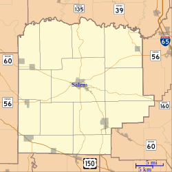
Salem Downtown Historic District (Indiana)
|
Salem Downtown Historic District
|
|

Town Square
|
|
| Location | Roughly bounded by Mulberry, Hackberry, and Hayes Sts., CSX RR tracks, and Brock Cr., Salem, Indiana |
|---|---|
| Coordinates | 38°36′20″N 86°06′00″W / 38.60556°N 86.10000°WCoordinates: 38°36′20″N 86°06′00″W / 38.60556°N 86.10000°W |
| Area | 74 acres (30 ha) |
| Built | 1824 |
| Architect | McDonal, Harry P.; Shophell & Harris |
| Architectural style | Early Republic, Late 19th And 20th Century Revivals, Late Victorian |
| NRHP Reference # | 97001181 |
| Added to NRHP | October 10, 1997 |
The Salem Downtown Historic District is a national historic district located at Salem, Washington County, Indiana. The original plat of the town, founded in 1814, is within the district. It is bounded by Mulberry and Hackberry Street in the north, Hayes Street in the east, the CSX railroad tracks in the south, and Brock Creek to the west. It encompasses 253 contributing buildings, 3 contributing structures, and 5 contributing objects in the central business district of Salem. The district was placed on the National Register of Historic Places in 1997. Its architectural styles are Italianate, Gothic Revival, Classical Revival, Late Victorian, Early Republic, and Late 19th/20th Century Revivals.
Within the District are several building which are individually listed on the National Register:
Markers on the square note when John Hunt Morgan raided the town, with a cannon pointing as it did on that day when the Raiders arrived in town. The Salem Presbyterian Church, one block east of the square, is on the state register of historic places; all on the National register are automatically on the state register.
County Courthouse
Jail and Sheriff's Residence
First Baptist Church
...
Wikipedia


