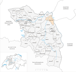
Roggwil, Berne
| Roggwil | ||
|---|---|---|

Roggwil village
|
||
|
||
| Coordinates: 47°15′N 7°49′E / 47.250°N 7.817°ECoordinates: 47°15′N 7°49′E / 47.250°N 7.817°E | ||
| Country | Switzerland | |
| Canton | Bern | |
| District | Oberaargau | |
| Area | ||
| • Total | 7.79 km2 (3.01 sq mi) | |
| Elevation | 421 m (1,381 ft) | |
| Population (Dec 2016) | ||
| • Total | 3,996 | |
| • Density | 510/km2 (1,300/sq mi) | |
| Postal code | 4914 | |
| SFOS number | 0337 | |
| Surrounded by | Aarwangen, Langenthal, Murgenthal (AG), Pfaffnau (LU), Untersteckholz, Wynau | |
| Website |
www SFSO statistics |
|
Roggwil is a municipality in the Oberaargau administrative district in the canton of Bern in Switzerland.
Roggwil is first mentioned in 949 as Rocchonuuillare.
A variety of Roman era objects and fragments of buildings or small settlement have been found in Roggwil. During the High Middle Ages the village was guarded by a fort at Chülperg. It was owned by the Barons of Bechburg and was directly ruled by a branch of this family that took their name from the village. When St. Urban's Abbey was founded in 1194, the Lords of Roggwil granted the Abbey land in the village. Through donations and purchase the Abbey grew to become the primary landlord and ruler over the village by 1250. In 1406 the city of Bern bought the County of Burgundy, which included Roggwil, from the Kyburgs. In 1413 Bern was able to gain control of the courts of the Roggwil and sharply restricted the Abbey's power. Initially the village shared a low court with Wynau and was part of the Amt of Wangen. Between 1580 and 1590 it was reallocated to the Amt of Aarwangen. After the 1798 French invasion, Roggwil attempted to join the Canton of Aarau under the Helvetic Republic, but it was assigned to the Bernese district of Langenthal. In 1803, under the Act of Mediation, it became part of the district of Aarwangen.
...
Wikipedia


