Rocha Estância
| Rocha Estância | |
|---|---|

Monte Estância
|
|
| Highest point | |
| Elevation | 357 m (1,171 ft) |
| Prominence | 357 m (1,171 ft) |
| Listing | List of mountains in Cape Verde |
| Coordinates | 16°02′46″N 22°45′31″W / 16.0460°N 22.7586°WCoordinates: 16°02′46″N 22°45′31″W / 16.0460°N 22.7586°W |
| Geography | |
| Location | Southeastern Boa Vista Island, Cape Verde |
| Geology | |
| Mountain type | Stratovolcano (extinct) |
| Last eruption | unknown |
| Climbing | |
| First ascent | unknown |
| Easiest route | road and hiking |
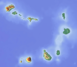
Rocha Estância is a mountain in the southwestern part of the island Boa Vista in Cape Verde, next to the village of Povoação Velha. The etymology of the name of the mountain is related to cattle ranching that was done over the years.
Its elevation is 357 meters and is the second tallest on the island. The area forms a protected area known as Rocha Estância Natural Monument (Monumento Natural de Rocha Estância) which protects flora and fauna, its total area is 253 ha and its perimeter is 6,817 meters.
The area are bounded to three streams: Baixa (lower), Doutor (teacher) and Fonte (spring) which separates other mountainous formations, it has conditions for agricultural practices, Ribeira Baixa is in the west and southwest of the village and Ribeira Doutor is in the southeast, both flows south and empties into the Atlantic Ocean at Praia de Santa Mónica. During the Ice Age, it may have had a tributary and emptied about 5 to 10 km southwest. Near the area of the settlement in the western part has activity outside the protected area.
The Our Lady of Conception church is located in the western part. On the mountaintop, views of the islands of São Nicolau and Maio can be seen
...
Wikipedia

