Ramsey Island
| Native name: Ynys Dewi | |
|---|---|

Ramsey Island viewed from St David's Head
|
|
| Geography | |
| Location | St Brides Bay |
| Coordinates | 51°51′42″N 5°20′34″W / 51.86167°N 5.34278°W |
| Length | 3.2 km (1.99 mi) |
| Highest elevation | 136 m (446 ft) |
| Highest point | Carnllundain |
| Administration | |
|
Wales
|
|
| County | Pembrokeshire |
| Demographics | |
| Population | 2 |
| Ethnic groups | Welsh people |
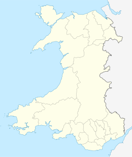
Ramsey Island (Welsh: Ynys Dewi) is an island about 1 km off the coast of the St David's peninsula in Pembrokeshire on the northern side of St Brides Bay, in southwest Wales. It is 640 acres (259.00 hectares) in area.
In Welsh the island is named after Saint David (Dewi Sant), the patron saint of Wales. It was the home of his confessor, Saint Justinian. The nearest town, strictly a city, is St David's.
Ramsey Island is less than 3.2 km (2 mi) long and its highest point is 136 metres (446 ft) above sea level at Carnllundain, and is listed as a HuMP. It is the fourth largest island in Wales, after Anglesey, Holy Island and Skomer.
The island has a diverse geology for a relatively small area; it comprises sedimentary, volcanic and intrusive igneous rocks dating from the early Palaeozoic Era. The larger part of the north of the island is formed from mudstones of the Tetragraptus Mudstone Formation (also known as the 'Penmaen Dewi Shale Formation' and again as the 'Road Uchaf Formation' (sic) after the Rhod Uchaf locality on the island's east coast). However Carnysgubor stands proud to their west as it is formed from a more resistant microtonalite intrusion. In contrast the coastal cliffs between Trwyn-drain-du and Trwyn-Sion-Owen and also between Trwyn Ogof Hen and Rhod Uchaf are formed by sedimentary rocks, the mica-rich Lingula Flags and the sandstones and mudstones of the Ogof Hen Formation. The rock strata is typically steeply tilted and commonly faulted.
...
Wikipedia

