Pukarua Airport
|
Pukarua Airport Aérodrome de Pukarua |
|||||||||||
|---|---|---|---|---|---|---|---|---|---|---|---|

NASA picture of Pukarua Atoll
|
|||||||||||
| Summary | |||||||||||
| Airport type | Public | ||||||||||
| Operator | DSEAC Polynésie Française | ||||||||||
| Serves | Pukarua | ||||||||||
| Location | Pukarua, Tuamotu, French Polynesia | ||||||||||
| Elevation AMSL | 5 ft / 2 m | ||||||||||
| Coordinates | 18°17′44″S 137°01′01″W / 18.29556°S 137.01694°WCoordinates: 18°17′44″S 137°01′01″W / 18.29556°S 137.01694°W | ||||||||||
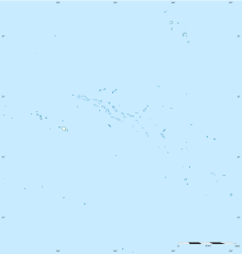
| Map | |||||||||||
| Location of the airport in French Polynesia | |||||||||||
| Runways | |||||||||||
|
|||||||||||
|
Sources: DAFIF, French AIP.
|
|||||||||||
Pukarua Airport (IATA: PUK, ICAO: NTGQ) is serving the village of Marautagaroa, located on the Pukarua atoll, in the Tuamotu group of atolls in French Polynesia, at 1,125 kilometres (699 mi) from Tahiti.
...
Wikipedia

