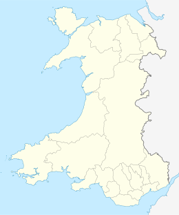
Puffin Island, Anglesey
| Native name: Ynys Seiriol | |
|---|---|

Puffin Island seen from Penmon Point
|
|
| Geography | |
| Location | Anglesey, Wales |
| Coordinates | 53°19′00″N 4°01′00″W / 53.31667°N 4.01667°W |
| Administration | |
|
Wales
|
|
| County | Anglesey |
| Additional information | |
| Uninhabited | |
Puffin Island (Welsh: Ynys Seiriol) (at SH 649 821 or 53°19′05″N 04°01′40″W / 53.31806°N 4.02778°W) is an uninhabited island off the eastern tip of Anglesey, Wales. It was formerly known as Priestholm in English and Ynys Lannog in Welsh. A hermitage was established here around the 6th century and there are remains of a 12th century monastery on the island. The island is also a Special Protection Area for wildlife.
Puffin Island is the ninth largest island off the coast of Wales and marks the northeastern end of the Menai Strait. Puffin Island's highest point is Carboniferous limestone, at 192 feet (59 m) above sea level having steep cliffs on all sides. It has an area of 69 acres (0.28 km2). The island is privately owned by the Baron Hill estate.
The Welsh name, Ynys Seiriol, refers to Saint Seiriol. The son of Owain Ddantgwyn, a 5th century ruler of the Kingdom of Gwynedd, and the brother of Saint Einion Frenin, a 5th or 6th century king in the Llŷn Peninsula, Seiriol founded and governed a clas (ecclesiastical settlement) at Penmon on the Anglesey. In later life, he abandoned his responsibilities there to establish a hermitage on the nearby island, where his remains are thought to rest.
...
Wikipedia

