Potrero Hill, San Francisco
| Potrero Hill | |
|---|---|
| Neighborhood | |
| Location within Central San Francisco | |
| Coordinates: 37°45′26″N 122°23′59″W / 37.75716°N 122.39986°W | |
| Country |
|
| State |
|
| City-county | San Francisco |
| Named for |
potrero nuevo (new pasture) |
| Government | |
| • Supervisor | Malia Cohen |
| • Assemblymember | David Chiu (D) |
| • State senator | Scott Wiener (D) |
| • U. S. rep. | Nancy Pelosi (D) |
| Area | |
| • Total | 1.52 sq mi (3.9 km2) |
| Population | |
| • Total | 14,102 |
| • Density | 9,300/sq mi (3,600/km2) |
| Time zone | Pacific (UTC−8) |
| • Summer (DST) | PDT (UTC−7) |
| ZIP codes | 94107, 94110, 94124 |
| Area codes | 415/628 |
Coordinates: 37°45′26″N 122°23′59″W / 37.75716°N 122.39986°W
Potrero Hill is a residential neighborhood in San Francisco, California. It is known for its views of the San Francisco Bay and city skyline, its proximity to many destination spots, its sunny weather, and for having two freeways and a Caltrain station.
A working-class neighborhood until gentrification in the 1990s, it is now an upper-middle-class, family-oriented neighborhood.
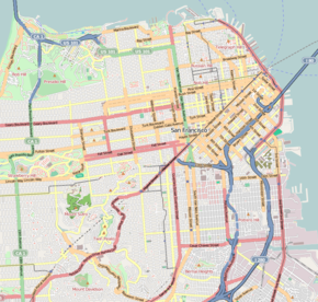
Potrero Hill is located on the eastern side of the city, east of the Mission District and south of SOMA (South of Market) and the newly designated district Showplace Square. It is bordered by 16th Street to the north, Potrero Avenue and U.S. Route 101 (below 20th Street) to the west and Cesar Chavez Street to the south. The city of San Francisco considers the area below 20th Street between Potrero Ave and Route 101 to be part of Potrero Hill as well, as outlined in the Eastern Neighborhood Plan.
The area east of Highway 280 is Dogpatch. Dogpatch was originally part of Potrero Nuevo and its history is closely tied to Potrero Hill. Some consider Dogpatch to be its own neighborhood while others disagree. Dogpatch has its own neighborhood association but shares merchant association, Democratic caucuses, and general neighborhood matters with Potrero Hill.
...
Wikipedia

