Pheasant Creek, Victoria
|
Pheasant Creek Victoria |
|||||||||||||||
|---|---|---|---|---|---|---|---|---|---|---|---|---|---|---|---|

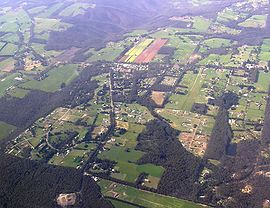
view from north
|
|||||||||||||||
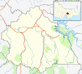
| Coordinates | 37°29′S 145°17′E / 37.483°S 145.283°ECoordinates: 37°29′S 145°17′E / 37.483°S 145.283°E | ||||||||||||||
| Postcode(s) | 3757 | ||||||||||||||
| Location | 85 km (53 mi) N of Melbourne | ||||||||||||||
| LGA(s) | Shire of Murrindindi | ||||||||||||||
| State electorate(s) | Eildon | ||||||||||||||
| Federal Division(s) | Indi | ||||||||||||||
|
|||||||||||||||
Pheasant Creek is a rural area in Victoria to the east of Kinglake West and to the west of Kinglake Central. Named after the creek that passes through the north of the town, Pheasant Creek is a largely residential area with moderately sized bush blocks connecting pine plantations to the north with the Kinglake National Park to the south. Pheasant Creek also contains a small industrial estate hosting a variety of small businesses, and a small commercial area consisting of a General Store, Bakery, Hardware store and Gym.
Pheasant Creek Post Office opened around 1902.
Due to its low population and close proximity to Kinglake West, Pheasant Creek has little in the way of community services. While the General Store handles basic supplies and post services, many residents travel to nearby Kinglake or Whittlesea for shopping and health services, while students generally attend Kinglake West Primary School and Whittlesea Secondary College
Pheasant Creek is served by the Route 384 bus route, connecting Pheasant Creek to Kinglake, Humevale and Whittlesea. To travel further south from Whittlesea, you can transfer onto Route 382 (Whittlesea - Northland SC via South Morang) or Route 385 (Whittlesea - Greensborough via Laurimar Town Centre).
A daily V/Line coach service also operates through nearby Kinglake West to Melbourne and Mansfield.
...
Wikipedia

