Pass a Loutre
| Pass a Loutre Wildlife Management Area | |
|---|---|
|
IUCN category V (protected landscape/seascape)
|
|
| Location | Plaquemines Parish, Louisiana |
| Coordinates | 29°7′7″N 89°12′21″W / 29.11861°N 89.20583°WCoordinates: 29°7′7″N 89°12′21″W / 29.11861°N 89.20583°W |
| Area | 66,000 acres (270 km2) |
| Established | Nov. 1, 1921 |
| Governing body | Louisiana Department of Wildlife and Fisheries |
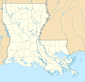
Pass a Loutre Wildlife Management Area (WMA) is a 66,000-acre (270 km2) protected wetland in Plaquemines Parish, Louisiana, United States. The WMA is located due south and bordering the 48,000 acre Delta National Wildlife Refuge, accessible only by air or boat, contains the Pass A L'Outre Lighthouse (29°11′26.6″N 89°2′29.3″W / 29.190722°N 89.041472°W), and Port Eads is within the boundary.
The WMA is situated on the lower Mississippi River, starting at the Head of Passes, including an extreme northern portion of the Southwest Pass, all of the South Pass, and Pass a Loutre, in the Plaquemines-Balize delta lobe of the Mississippi River Delta Basin.
The WMA is a combination of low marsh, tidal marsh, mudflats, and salt marsh, covering three of the five main types of wetlands.
The Pass a Loutre WMA, within the Mississippi Delta, sometimes referred to as "The Birds Foot", has a diverse range of wildlife including whitetail deer and rabbit, fur bearing animals and alligators, and indigenous as well as migratory birds and waterfowl that includes game species.
...
Wikipedia

