Otterøya
|
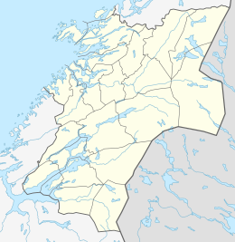
Location in Nord-Trøndelag
|
|
| Geography | |
|---|---|
| Location | Nord-Trøndelag, Norway |
| Coordinates | 64°29′30″N 11°21′22″E / 64.4918°N 11.3561°ECoordinates: 64°29′30″N 11°21′22″E / 64.4918°N 11.3561°E |
| Area | 143 km2 (55 sq mi) |
| Length | 25 km (15.5 mi) |
| Width | 6 km (3.7 mi) |
| Highest elevation | 446 m (1,463 ft) |
| Highest point | Tømmervikfjellet |
| Administration | |
| County | Nord-Trøndelag |
| Municipality | Namsos |
| Demographics | |
| Population | 809 (2001) |
Otterøya is an island in the municipality of Namsos in Nord-Trøndelag county, Norway. It is the largest island in the county. Otterøya sits northwest of the town of Namsos on the north side of the Namsenfjorden. It is connected to the mainland by the Lokkaren Bridge. The island was once part of the old municipality of Otterøy but was merged with Namsos in 1964.
...
Wikipedia

