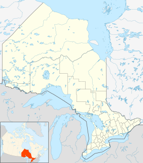
Ojibway Provincial Park
| Ojibway Provincial Park | |
|---|---|
|
IUCN category II (national park)
|
|

Boat launch with docks
|
|
| Location | Northern Ontario, Canada |
| Nearest city | Dryden, Ontario |
| Coordinates | 49°59′42″N 92°7′57″W / 49.99500°N 92.13250°WCoordinates: 49°59′42″N 92°7′57″W / 49.99500°N 92.13250°W |
| Area | 2,630 ha (6,500 acres) |
| Established | 1975 |
| Governing body | Ontario Parks |
Ojibway Provincial Park is about 25 kilometres (16 mi) southwest of Sioux Lookout on Highway 72 in Northwestern Ontario, Canada. On Little Vermilion Lake, the park offers swimming, a sandy beach, and muskellunge fishing. It has trails through pine forests and along the lake's shore.
...
Wikipedia

