Néma
|
Néma النعمه |
|
|---|---|
| Commune and town | |
 |
|
| Location in Mauritania | |
| Coordinates: 16°37′N 7°15′W / 16.617°N 7.250°W | |
| Country |
|
| Region | Hodh Ech Chargui Region |
| Elevation | 280 m (920 ft) |
| Population (2005) | |
| • Commune and town | 21,979 |
| • Metro | 87,048 |
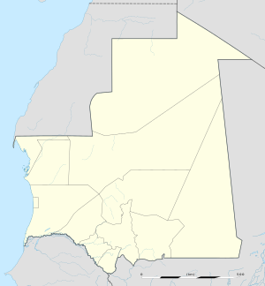
Néma is a town in southeastern Mauritania, close to the border with Mali. It is located at around 16°37′0″N 7°15′0″W / 16.61667°N 7.25000°WCoordinates: 16°37′0″N 7°15′0″W / 16.61667°N 7.25000°W at the eastern end of the Aoukar. It is the capital of Hodh Ech Chargui Region and of the Néma Department.
While the urban population of Nema is approximately 50–60,000, the surrounding rural sites served by the city make it closer to 200,000. Mauritanians value brousse, or country living, as a throwback to their nomadic roots. "The Road of Hope," which stretches from the capital, Nouakchott, ends in Nema near the market quartier. There are ten quartiers, sections, of the city, the oldest being Edelibu Quartier, northeast of the road. Shovia Quartier, dating from the 1950s, is the only section south of the road.
There is a hospital with less than ten doctors but the women's services section is well-staffed and efficient. It is overseen by the DRAS, or regional medical director.
As it is the capital of the Hodh-el-Shargi Region, Nema has a wali (regional governor), Maire (mayor for municipal affairs), and Hakim (deals with civil matters), in descending order of influence. There are eleven madrasas (primary schools), two colleges (middle schools), and a lycee (high school). These are overseen by the DREN, or regional education director. There is a Condition Feminine, or Women's Ministry, overseen by a woman appointed by the national government.
...
Wikipedia

