Mozley Park
|
Mozley Park Historic District
|
|
| Location | Roughly bounded by Westview Dr., West Lake Ave., Seaboard Coast Line RR tracks and M. L. King and Rockmart Dr., Atlanta, Georgia |
|---|---|
| Coordinates | 33°45′03″N 84°25′35″W / 33.750827°N 84.426455°WCoordinates: 33°45′03″N 84°25′35″W / 33.750827°N 84.426455°W |
| Area | 300 acres (120 ha) |
| Architectural style | Other, Late Victorian, Late 19th And Early 20th Century American Movements |
| NRHP Reference # | 95000909 |
| Added to NRHP | August 11, 1995 |
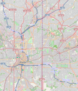
Mozley Park is a typical early 20th-century residential neighborhood, located approximately three miles west of downtown Atlanta. The community is named after the original landowner, Dr. Hiram Mozley, whose heirs inherited the land after his death in 1902.
The houses in the district were built over a 20-year period, beginning around 1920 when the basic street arrangements were completely mapped. The houses built in the oldest section of the neighborhood are Folk Victorian cottages and Craftsman bungalows built on small lots with varied setbacks and no driveways. There have been modest changes to the houses, including new awnings, siding, and rear additions. The overall neighborhood plan is that of a gridiron, typical of many Atlanta neighborhoods. Many of the streets have retained their original granite curbing and narrow sidewalks with hexagonal pavers. Lots are primarily 50 feet (15 m) wide.
The district also includes the Mozley Park Recreational Area. In 1922, the citizens of Mozley Park and the surrounding area asked the Atlanta City Council to purchase the Mozley estate for a recreation area to serve residents of the southwest side of Atlanta. The Civil War breastworks and trenches that remained on the site were leveled. A park was developed with roadways, landscaped areas, lakes, a swimming pool, and a bathhouse. The only other non-residential building in the district is the Frank Lebby Stanton Elementary School, named for Georgia's first poet laureate. It was built on a wooded hill adjacent to Mozley Park. The school is a traditional two-story, red-brick building with limestone trim and awning windows.
Mozley Park was an early epicenter of white flight in Atlanta, which had de facto residential segregation.
The neighborhood was located immediately west of the Ashby Street area, which underwent turbulence in the 1940s as many white sections of that neighborhood transitioned to black. In 1937, a black physician bought three lots in Mozley Park but abandoned his building plans after work crews were threatened. In 1941 city officials considered building a parkway that would serve as a physical barrier to black areas to Mozley Park's east. When this was not built, Westview Drive was used as a boundary, with anyone trying to build homes for blacks within 100 yards of the road threatened. Streets in black subdivisions north of Westview were unpaved for the last 100 yards nearest Westview. East of Chappell Road was also considered a black area.
...
Wikipedia


