Morro Branco
| Morro Branco | |
|---|---|
| Location | Western São Vicente, Cape Verde |
| Coordinates | 16°53′01″N 25°01′33″W / 16.8837°N 25.0259°WCoordinates: 16°53′01″N 25°01′33″W / 16.8837°N 25.0259°W |
| Offshore water bodies |
Porto Grande Bay Atlantic Ocean |
| Elevation | 86 metres (282 ft) |
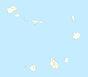
Morro Branco is a cape located in the northwest of the island of São Vicente. Its elevation is 86 m. The cape stands at the western end of the Porto Grande Bay, 4 km west of the city centre of Mindelo. The neighboring promontory Ponta da Botelha is roughly 1.5 km west.
The Portuguese military barracks once existed southeast, after independence, they became Cape Verdean.
...
Wikipedia

