Moody Air Force Base
| Moody Air Force Base | |
|---|---|
| Part of Air Combat Command (ACC) | |
| Located near: Valdosta, Georgia | |

Three A-10C Thunderbolt II aircraft from the 74th and 75th Fighter Squadrons out of Moody Air Force Base
|
|
| Coordinates | 30°58′4″N 83°11′34″W / 30.96778°N 83.19278°W |
| Type | Air Force Base |
| Site information | |
| Controlled by |
|
| Site history | |
| Built | 1941 |
| In use | 1941-Present |
| Garrison information | |
| Garrison |
|
| Airfield information | |||||||||||||||
|---|---|---|---|---|---|---|---|---|---|---|---|---|---|---|---|
| Summary | |||||||||||||||
| Elevation AMSL | 233 ft / 71 m | ||||||||||||||
| Coordinates | 30°58′04″N 083°11′34″W / 30.96778°N 83.19278°WCoordinates: 30°58′04″N 083°11′34″W / 30.96778°N 83.19278°W | ||||||||||||||
| Website | www.moody.af.mil | ||||||||||||||
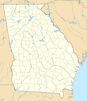
| Map | |||||||||||||||
| Location of Moody Air Force Base | |||||||||||||||
| Runways | |||||||||||||||
|
|||||||||||||||
|
Sources: official web site and FAA
|
|||||||||||||||
Moody Air Force Base (IATA: VAD, ICAO: KVAD, FAA LID: VAD) is a United States Air Force installation located in Lowndes County and Lanier County, about 9 miles (14 km) northeast of Valdosta, Georgia, United States.
The host unit, the 23d Wing, carries out worldwide close air support, force protection, and combat search and rescue operations (CSAR).
Originally named Valdosta Airfield when it opened on 15 September 1941, the airfield was renamed Moody Army Airfield on 6 December 1941 in honor of Major George Putnam Moody (13 March 1908 – 5 May 1941), an early Air Force pioneer. Major Moody earned his military wings in 1930 and flew U.S. airmail as a member of the United States Army Air Corps in 1934. He was killed on 5 May 1941 while flight-testing a Beechcraft AT-10 Wichita advanced two-engine training aircraft at Wichita Army Airfield, Kansas. The AT-10 was later used extensively at Moody AAF during World War II.
Also located at the base is Embry-Riddle Aeronautical University-Worldwide: Moody Campus.
The base had its beginning in 1940 when a group of concerned Valdosta and Lowndes County citizens began searching for a way to assist the expanding defense program. A committee was formed to obtain a military airfield for their community. In October 1940, the committee sent a letter to Maxwell AAF inviting the Air Corps to consider the Valdosta area. When engineers arrived, they rejected the existing Valdosta Municipal Airport because of excessive grading costs and began looking for another site. The Air Corps found an acceptable site 11.5 miles NNE of Valdosta near the small settlement of Bemis. The site was located on the Lakeland Flatwoods Project, a 9,300 acres (38 km2) tract of sub-marginal land, not primarily suited for cultivation. The United States Department of Agriculture, which owned the land, was experimenting at that time with forest grazing at the project. The Air Corps approved to locate the base on the tract in March 1941. Two months later, on 14 May, the Department of Agriculture transferred ownership of the property to the War Department.
...
Wikipedia

