Monywa
|
Monywa မုံရွာမြို့ |
|
|---|---|

Monywa
|
|
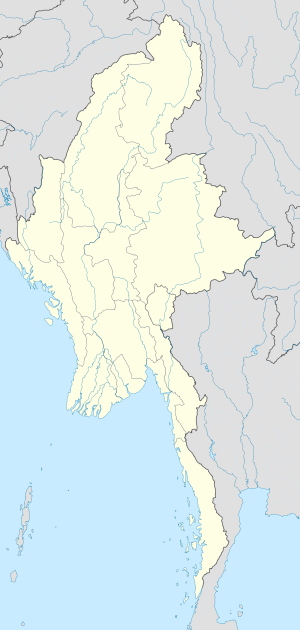
| Location in Burma | |
| Coordinates: 22°6′30″N 95°8′30″E / 22.10833°N 95.14167°ECoordinates: 22°6′30″N 95°8′30″E / 22.10833°N 95.14167°E | |
| Country |
|
| Region | Sagaing Region |
| District | Monywa District |
| Township | Monywa Township |
| Population (2014 Census) | |
| • City | 372,095 |
| • Urban | 207,489 |
| • Rural | 164,606 |
| • Religions | Buddhism |
| Time zone | MST (UTC+6.30) |
| Area code(s) | 71 |
Monywa (Burmese: မုံရွာမြို့; MLCTS: muṃ rwa mrui.; pronounced: [mòʊɴjwà mjo̰]) is a city in Sagaing Region, Myanmar, located 136 km north-west of Mandalay on the eastern bank of the River Chindwin.
It is also known as Neem city because most of the streets of the city are covered by very old Neem trees. It is one of the Unique Cities of the World.
Monywa has a tropical savanna climate (Köppen climate classification Aw) which just fall a short for of hot desert climate (BWh). Temperatures are very warm throughout the year, although the winter months (December–February) are milder. The pre-monsoon months from March to May are especially hot, with average maximum temperatures reaching 38 °C (100 °F). There is a winter dry season (November–April) and a summer wet season (May–October).
Monywa received 139 millimetres (5.5 in) of rainfall on 19 Oct 2011. This was a new record for rainfall within 24 hours in October in Monywa for the last 47 years. The previous record was 135 millimetres (5.3 in) on 24 Oct 1967.
Monywa is served by the Mandalay-Budalin branch railway line, but is best reached by bus as the road from Mandalay is in reasonably good shape. Monywa is linked by road to Budalin, Dabayin, Ye-U and Kin-U, and by rail to Sagaing and the Mandalay - Myitkyina line. River transport on the Chindwin has always been important as it is navigable for 640 km (400 mi) to Hkamti during the monsoon season, and most of the year to Homalin.
...
Wikipedia

