Mazique Archeological Site

Layout of the Mazique Archeological Site
|
|
| Location |
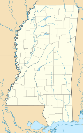
Sibley, Mississippi, Adams County, Mississippi, |
|---|---|
| Region | Adams County, Mississippi |
| Coordinates | 31°24′52.92″N 91°23′18.85″W / 31.4147000°N 91.3885694°W |
| History | |
| Founded | 1000 CE |
| Abandoned | 1730 |
| Cultures | Coles Creek culture, Plaquemine Mississippian culture, Natchez people |
| Site notes | |
| Excavation dates | 1927, 1929, 1948 |
| Archaeologists | James A. Ford, Moreau B. Chambers, John L. Cotter, W. P. Lancaster |
| Architecture | |
| Architectural styles | platform mound, plaza, |
| Architectural details | Number of monuments: |
|
Mazique Archeological Site
|
|
| NRHP Reference # | 91001529. |
| Added to NRHP | October 23, 1991 |
| Responsible body: private | |
Number of temples: 3
The Mazique Archeological Site (22 AD 502), also known as White Apple Village, is a prehistoric Coles Creek culture archaeological site located in Adams County, Mississippi. It is also the location of the historic White Apple Village of the Natchez people and the Mazique Plantation. It was added to the NRHP on October 23, 1991, as NRIS number 91001529.
The site is located on the west bank of Second Creek, a tributary of the Homochitto River and consisted of three platform mounds and a central plaza. It was occupied during both the Coles Creek period (700–1000 CE) and the later Plaquemine Mississippian period (1000–1680 CE), when it was recorded in historic times as the White Apple village of the Natchez people. Mound A sites directly on the bank of Second Creek and more than half of its mass has been lost due to the creek eroding into it. It is currently 8 metres (26 ft) in height but was recorded as being 6.1 metres (20 ft) in height and 45.7 metres (150 ft) in circumference by Montroville W. Dickeson in 1841 and 5.5 metres (18 ft) in height and 40 metres (131 ft) in length on the top by Calvin Brown in 1916. Mound B is located to the southeast and is 4 metres (13 ft) in height and has a historic cemetery on its summit. It still retains its flat topped shape. Dickeson was the only one to mention the third mound, which he described as smaller than the others and being further reduced by cultivation of its surface. By the time of the other surveys and investigations it is no longer mentioned and its location is still under investigation. The site is named for a local African-American family from southern Adams County who once owned the land.
Mazique was visited in 1927 and 1929 by James A. Ford and Moreau B. Chambers, who performed a site survey and surface collection of ceramic fragments. Analysis of these fragments were used to date the site to the Coles Creek period. The first archaeological excavations at the site were in 1940 by the Natchez Historical Association at the instigation of local tourism promoter and entrepreneur Jefferson Davis Dickson, Jr. Dickson then had a short-lived "archaeological museum" built on the site during the early 1940s, which caused serious damage. The site was again excavated in 1948 by John L. Cotter and W. P. Lancaster.
...
Wikipedia

