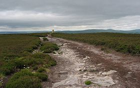
Long Crag
| Long Crag | |
|---|---|

Long Crag summit
|
|
| Highest point | |
| Elevation | 319 m (1,047 ft) |
| Prominence | c. 169 m |
| Parent peak | The Cheviot |
| Listing | Marilyn |
| Geography | |
| Location | Northumberland, England |
| OS grid | NU062069 |
| Topo map | OS Landranger 81 |
Long Crag is a hill to the north of Rothbury in Northumberland, England. It lies within the Thrunton Woods, a Forestry Commission-owned area of forestry plantations.
Thrunton Woods have many marked trails provided by the Forestry Commission, and there are many routes to the summit.
Coordinates: 55°21′22″N 1°54′14″W / 55.35608°N 1.90376°W
...
Wikipedia
