Lelepa Island

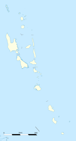
Location of Lalepa on the Northern coast of Efate
|
|
| Geography | |
|---|---|
| Location | Pacific Ocean |
| Coordinates | 17°35′54″S 168°12′44″E / 17.59833°S 168.21222°ECoordinates: 17°35′54″S 168°12′44″E / 17.59833°S 168.21222°E |
| Archipelago | New Hebrides |
| Area | 1.6 km2 (0.62 sq mi) |
| Length | 5 km (3.1 mi) |
| Highest elevation | 202 m (663 ft) |
| Highest point | Mt. Tifit |
| Administration | |
|
Vanuatu
|
|
| Largest settlement | Natapao (pop. 350) |
| Demographics | |
| Population | 500 |
Lelepa (or Lélépa) is an island in the southwestern Pacific island nation of Vanuatu. It belongs to the New Hebrides and is located off the northwest coast of the island of Efate.
Lelepa has a length of about five kilometers in north-south direction and an area of 160 hectares. The highest point is Mt. Tifit (202 m). The population of Lelepa is about 500 people. The largest town on the island Natapao (pop. 350),is located on the southern edge of the island. At the northern end of the island lies the village Lelo. On the island there is a school, a kindergarten and two churches (Presbyterian Church and Seventh-day Adventists).
Together with the neighboring islands Moso and Efate, Lelepa forms the natural harbor Havannah Harbour, named after the British ship HMS Havannah that twice anchored there in 1849-50.
The local language is Lelepa language, spoken by about 400 people. It is sometimes considered a dialect of South Efate language.
On the southwestern side of the island is Fels Cave. The name Falesa denotes a cave in the Nakanamanga language, Fels or Feles are local dialect variants. Within the cave there are many rock drawings, up to 3000 years old rock. Since 2008, the cave has been part of Chief Roi Mata's Domain, which was designated a UNESCO World Heritage Site.
According to legend, the principal chief Roi Mata died in this cave, towards the end of the sixteenth century. From the entrance, there is a direct view of Eretoka, where he was buried. In other legends the cave was the residence of the first carrier of the title Chief Roi Mata.
Fels Cave, at an elevation of 22 meters, opens from a 6-meter high entrance to a height of 35 meters. Its diameter is about 50 meters, with an approximately circular floor plan. The surrounding rock, locally called fta, consists of volcanic breccia and pumice. It is protected from erosion by the overlying limestone, an uplifted coral reef.
...
Wikipedia

