Kiwaatule
| Kiwaatule | |
|---|---|
| Location in Kampala | |
| Coordinates: 00°21′56″N 32°37′31″E / 0.36556°N 32.62528°E | |
| Country |
|
| Region | Central Region |
| District | Kampala Capital City Authority |
| Division | Nakawa Division |
| Elevation | 4,000 ft (1,220 m) |
Kiwaatule is a township within the city of Kampala, Uganda's capital.
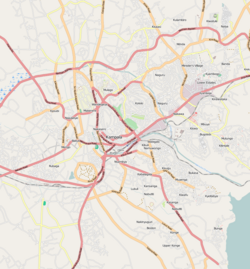
Kiwaatule is bordered by Najjera to the north, Naalya to the east, Banda to the south, Ntinda to the south-west, Kigoowa to the west, and Kulambiro to the north-west. It is approximately 11 kilometres (6.8 mi), by road, north-east of Kampala's central business district. The coordinates of Kiwaatule are 0°21'56.0"N, 32°37'31.0"E (Latitude:0.365556; Longitude:32.625275).
Kiwatule is mainly a middle class residential neighborhood with a smattering of commercial establishments. The Kampala Northern Bypass Highway traverses the neighborhood. The People's Progressive Party, one of the political parties in Uganda, maintains its headquarters at Kiwaatule.
The following additional points of interest are located in or near Kiwaatule:
Coordinates: 00°21′56″N 32°37′31″E / 0.36556°N 32.62528°E
...
Wikipedia

