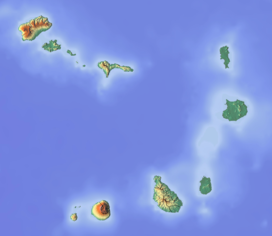
João Valente (reef)
| João Valente | |
|---|---|
| Highest point | |
| Elevation | −14 m (−46 ft) |
| Listing | Seamounts |
| Coordinates | 15°44′27″N 23°5′26″W / 15.74083°N 23.09056°WCoordinates: 15°44′27″N 23°5′26″W / 15.74083°N 23.09056°W |
| Geography | |
| Location | between the islands of Boa Vista and Maio |
| Geology | |
| Mountain type | Stratovolcano |
João Valente is a reef located nearly between the islands of Boa Vista (20 nmi, 35 km) and Maio (25 mmi, 45 km). The reef's lowest point is about 100 meters above sea level. The seamount is about 1,000 meters tall. The highest point is 14 meters below sea level and dominates the area of about 1,000 to 2,000 km2, probably and erosion affected the volcano (Guyot). During the Ice Age, it was a larger island that once included Boa Vista and Maio, it was in the middle part and had two isthmus connecting the former Boa Vista and the Southern peninsulas. Around 7,000 to 6,000 BC, the isthmus were flooded and separated Boa Vista and Maio to form its own islands. João Valente was a flat island until around 4,000 to 3,000 BC when a rise in sea level flooded the whole island and became a reef. In about 2000 to 1000 BC, the elevation was about ten meters below sea level. The reef is partly visible during low tide. On April 20, 1806, the English ship The Lady Burgess sank into the reef. The high biodiversity of fishes in the reef along with other seamounts discovered in 1981, ichthyofauna has been studied.
...
Wikipedia

