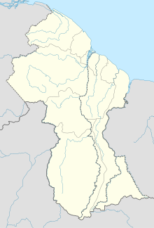
Imbaimadai Airport
| Imbaimadai Airport | |||||||||||
|---|---|---|---|---|---|---|---|---|---|---|---|
| Summary | |||||||||||
| Serves | Imbaimadai | ||||||||||
| Elevation AMSL | 1,650 ft / 503 m | ||||||||||
| Coordinates | 5°42′25″N 60°17′45″W / 5.70694°N 60.29583°WCoordinates: 5°42′25″N 60°17′45″W / 5.70694°N 60.29583°W | ||||||||||
| Map | |||||||||||
| Location in Guyana | |||||||||||
| Runways | |||||||||||
|
|||||||||||
|
Sources: GCM Google Maps SkyVector
|
|||||||||||
Imbaimadai Airport (IATA: IMB, ICAO: SYIB) is an airport serving the village of Imbaimadai, in the Cuyuni-Mazaruni Region of Guyana.
...
Wikipedia

