Horicon Marsh
| Horicon National Wildlife Refuge | |
|---|---|
|
IUCN category IV (habitat/species management area)
|
|
|
A boardwalk in the marsh
|
|
|
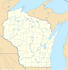
Location of Horicon Marsh
|
|
| Location | Dodge, Fond du Lac counties, Wisconsin, United States |
| Nearest city | Waupun, Wisconsin |
| Coordinates | 43°35′00″N 88°38′00″W / 43.58333°N 88.63333°WCoordinates: 43°35′00″N 88°38′00″W / 43.58333°N 88.63333°W |
| Area | 21,400 acres (87 km2) |
| Established | 1941 |
| Governing body | U.S. Fish and Wildlife Service |
| Website | Horicon Marsh National Wildlife Refuge |
| Designated | December 4, 1990 |
Horicon Marsh is a marsh located in northern Dodge and southern Fond du Lac counties of Wisconsin. It is the site of both a national and a state wildlife refuge. The extinct glacial lake is the largest freshwater cattail marsh in the United States.
Horicon Marsh was created by the Green Bay lobe of the Wisconsin glaciation during the era. The glacier, during its advance created many drumlins (a type of knoll) in the region, many of which have become the islands of Horicon Marsh. The marsh and surrounding Dodge County have the highest concentration of drumlins in the world.
During the glacier's retreat, a moraine was created, forming a natural dam holding back the waters from the melting glacier and forming Glacial Lake Horicon. The Rock River slowly eroded the moraine, and the lake drained. As the levels of silt, clay and peat accumulated in the former lake's basin, the Horicon Marsh was formed.
The Horicon Marsh State Wildlife Area is one of nine units of the Ice Age National Scientific Reserve system, being considered to contain unique, representative evidence of the Ice Age of the Pleistocene era.
The Horicon Marsh area has been inhabited by humans, including the Paleo-Indians, the Hopewellian people and the Mound Builders, since the ending of the last Ice Age. Dozens of 1200-year-old effigy mounds were built by the Mound Builders in the surrounding low ridges. Arrowheads have been found dating to 12,000 years ago. Later the region was inhabited by the Potawotomi, primarily to the east of the marsh, and the Ho-Chunk to the west. Seven well-traveled Native American foot trails met at the southern end of the marsh at the present location of Horicon.
...
Wikipedia


