Guallatiri
| Guallatiri | |
|---|---|

Fumarole activity in the crater of Guallatiri
|
|
| Highest point | |
| Elevation | 6,071 m (19,918 ft) |
| Isolation | 25 kilometres (16 mi) |
| Coordinates | 18°25′00″S 69°05′30″W / 18.41667°S 69.09167°WCoordinates: 18°25′00″S 69°05′30″W / 18.41667°S 69.09167°W |
| Geography | |
| Location | Putre, Parinacota Province, Arica y Parinacota, Chile |
| Geology | |
| Age of rock | Pleistocene-Holocene |
| Mountain type | Volcano |
| Volcanic field | Nevados de Quimsachata |
| Last eruption | 1960 |
Guallatiri (also known as Huallatiri, Huallatire, Guallatire and Punata) is a 6,071-metre-high (19,918 ft) volcano in Chile. It is located southwest of the Nevados de Quimsachata volcanic group. It is a stratovolcano with fumaroles around the summit, which may be either a lava dome or a pyroclastic cone. The lower flanks of the volcano are covered by lava flows and lava domes.
Guallatiri has been active in historical times with a number of eruptions, the last in 1960. Fumarolic and seismic activity is ongoing. The volcano is covered by an ice cap.
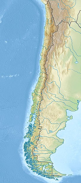
Guallatiri is located in the Putre commune, Parinacota province of Arica y Parinacota, Chile.Parinacota, Quisiquisini, Guallatiri and Poquentica form the eastern limit of the Lauca basin.
The towns of Putre, Socoroma and Zapahuira are closest to the volcano. The volcano is located in the Lauca National Park, along with the two higher Pomerape and Parinacota volcanoes. Sometimes Guallatiri is considered to be part of the Nevados de Quimsachata volcanic chain, a 50 kilometres (31 mi) long chain of volcanoes.
Other volcanoes with historical phreatic-phreatomagmatic activity in northern Chile include Irruputuncu, Isluga, Lascar and San Pedro. Further, fumarolic activity has been reported at Alitar, Lastarria, Olca, Ollague, Putana and Tacora.
...
Wikipedia

