Gladstone Peak
| Gladstone Peak | |
|---|---|
|
|
|
| Highest point | |
| Elevation | 13,919 ft (4,243 m) |
| Prominence | 713 ft (217 m) |
| Isolation | 0.59 mi (0.95 km) |
| Coordinates | 37°50′43″N 107°59′02″W / 37.8452718°N 107.9839578°WCoordinates: 37°50′43″N 107°59′02″W / 37.8452718°N 107.9839578°W |
| Geography | |
| Location | Dolores and San Miguel counties, Colorado, United States |
| Parent range | San Miguel Mountains |
| Topo map |
USGS 7.5' topographic map Mount Wilson, Colorado |
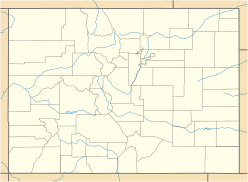
Gladstone Peak is a high mountain summit in the San Miguel Mountains range of the Rocky Mountains of North America. The 13,919-foot (4,243 m) thirteener is located in the Lizard Head Wilderness, 11.2 miles (18.0 km) southwest by west (bearing 234°) of the Town of Telluride, Colorado, United States, on the drainage divide separating San Juan National Forest and Dolores County from Uncompahgre National Forest and San Miguel County. The mountain was named in honor of British Prime Minister William Ewart Gladstone.
...
Wikipedia

