Gaularfjellet
| Gaularfjellet | |
|---|---|
 |
|
| Highest point | |
| Coordinates | 61°20′19″N 06°24′13″E / 61.33861°N 6.40361°ECoordinates: 61°20′19″N 06°24′13″E / 61.33861°N 6.40361°E |
| Geography | |
|
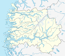
Location in Sogn og Fjordane
|
|
| Location | Sogn og Fjordane, Norway |
Gaularfjellet is a mountain area in central Sogn og Fjordane county, Norway. The mountains for the borders between the municipalities of Gaular, Balestrand, and Førde. Norwegian County Road 13 crosses the mountains through a pass that follows the river Gaula.
...
Wikipedia

