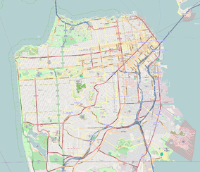
Fort Winfield Scott
| Fort Point National Historic Site | |
|---|---|
|
IUCN category V (protected landscape/seascape)
|
|

Fort Point beneath Golden Gate Bridge
|
|
| Nearest city | San Francisco, California, USA |
| Coordinates | 37°48′38″N 122°28′38″W / 37.81056°N 122.47722°WCoordinates: 37°48′38″N 122°28′38″W / 37.81056°N 122.47722°W |
| Area | 29 acres (12 ha) |
| Established | 16 October 1970 |
| Visitors | 1,682,041 (in 2005) |
| Governing body | National Park Service |
| Website | Fort Point National Historic Site |
| Official name | Castillo De San Joaquín |
| Reference no. | 82 |
Fort Point is a masonry seacoast fortification located at the southern side of the Golden Gate at the entrance to San Francisco Bay. This fort was completed just before the American Civil War by the United States Army, to defend San Francisco Bay against hostile warships. The fort is now protected as Fort Point National Historic Site, a United States National Historic Site administered by the National Park Service as a unit of the Golden Gate National Recreation Area.
In 1769 Spain occupied the San Francisco area and by 1776 had established the area's first European settlement, with a mission and a presidio. To protect against encroachment by the British and Russians, Spain fortified the high white cliff at the narrowest part of the bay's entrance, where Fort Point now stands. The Castillo de San Joaquin, built in 1794, was an adobe structure housing nine to thirteen cannons.
Mexico won independence from Spain in 1821, gaining control of the region and the fort, but in 1835 the Mexican army moved to Sonoma leaving the castillo's adobe walls to crumble in the wind and rain. On July 1, 1846, after the Mexican-American War broke out between Mexico and the United States, U.S. forces, including Captain John Charles Fremont, Kit Carson and a band of 10 followers, captured and occupied the empty castillo and spiked (disabled) the cannons.
...
Wikipedia


