Fort Sumner (Maine)
| Fort Sumner | |
|---|---|
| Munjoy Hill, Portland, Maine | |
|
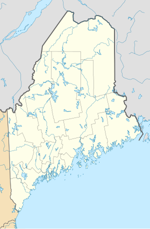
Location in Maine
|
|
| Coordinates | 43°40′03″N 70°15′03″W / 43.66750°N 70.25083°WCoordinates: 43°40′03″N 70°15′03″W / 43.66750°N 70.25083°W |
| Type | Coastal Defense |
| Site information | |
| Owner | public |
| Controlled by | City of Portland |
| Site history | |
| Built | 1794 |
| In use | 1794-1820s |
| Demolished | circa 1835? |
| Battles/wars | War of 1812 |
Fort Sumner was a coastal defense fortification on Munjoy Hill in Portland, Maine, United States. It was built in 1794 as part of the First System of coastal fortifications built by the United States. It was reportedly originally named Fort Allen after the nearby Revolutionary War battery that probably became part of Fort Sumner, but was renamed in 1797 after Increase Sumner, the incumbent Governor of Massachusetts, of which Maine was then a part. The location is now Fort Sumner Park, also called Standpipe Park, at 60 North Street.
Fort Sumner consisted of a blockhouse, magazine, and barracks on the summit of Munjoy Hill, where Fort Sumner Park is now, and a "water battery" (battery near a body of water) or "detached battery", probably where Fort Allen Park is now and an upgrade of the Revolutionary War Fort Allen. The battery was rebuilt in 1798 and 1808. The Secretary of War's report for December 1811 describes a battery "at the north end of the town... of five guns mounted and four 18-pounders mounted on travelling carriages". This probably refers to the detached battery, which may have been on the Fort Allen site. Fort Sumner lessened in importance with the construction of Fort Preble and Fort Scammel in 1808. Fort Allen was rebuilt in 1814 with city resources, adding a magazine and barracks due to the British capture of Eastport and Castine in the War of 1812.
...
Wikipedia

