Fontainebleau State Park
| Fountainebleau State Park | |
|---|---|

Live oak tree draped with Spanish moss
|
|
| Location | St. Tammany Parish, Louisiana, United States |
| Coordinates | 30°20′43″N 90°01′22″W / 30.34523°N 90.02269°WCoordinates: 30°20′43″N 90°01′22″W / 30.34523°N 90.02269°W |
| Area | 2,800 acres (11 km2; 4.4 sq mi) |
| Established | 1942 |
| Governing body | Louisiana Office of State Parks |
| Official website | |
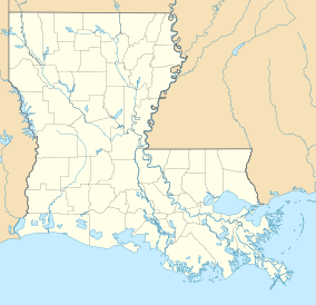
Fontainebleau State Park is located in St. Tammany Parish, Louisiana, on the north shore of Lake Pontchartrain. The park is 2,800 acres (1,100 ha) in size and was once the site of a sugar cane plantation and brickyard operated by Bernard de Marigny and later by his son Antoine James de Marigny. The park has a multitude of habitats for birds.
The visitor center highlights the history of the land which was once owned by the wealthy Bernard de Marigny (1785–1868) of New Orleans and founder of Mandeville, which lies directly to the west of Fontainebleau Park. Marigny operated a sugar mill that was built in 1829. He named his large holding Fontainebleau after the beautiful forest near Paris, France.
Fontainebleau State Park is surrounded on three sides by water: Lake Pontchartrain, Bayou Cane, and Bayou Castine. The state originally named the park Tchefuncte State Park and Conservation Reservation, after the Tchefuncte River.
The park was added to the National Register of Historic Places in 1999.
...
Wikipedia

