Dong Tac Airport
|
Dong Tac Airport Sân bay Đông Tác |
|||||||||||||||||||
|---|---|---|---|---|---|---|---|---|---|---|---|---|---|---|---|---|---|---|---|
| Summary | |||||||||||||||||||
| Airport type | Public | ||||||||||||||||||
| Operator | Middle Airport Authority | ||||||||||||||||||
| Location | Tuy Hòa, Vietnam | ||||||||||||||||||
| Elevation AMSL | 6 m / 20 ft | ||||||||||||||||||
| Coordinates | 13°02′58″N 109°20′01″E / 13.04944°N 109.33361°ECoordinates: 13°02′58″N 109°20′01″E / 13.04944°N 109.33361°E | ||||||||||||||||||
| Map | |||||||||||||||||||
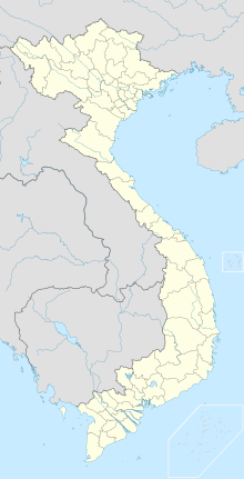
| Location of the airport in Vietnam | |||||||||||||||||||
| Runways | |||||||||||||||||||
|
|||||||||||||||||||
|
Sources: GCM, STV
|
|||||||||||||||||||
Dong Tac Airport (IATA: TBB, ICAO: VVTH) (Vietnamese: Sân bay Đông Tác) is located just south of Tuy Hòa within the Phú Yên Province, along the central coast of southern Vietnam.
During the Vietnam War Đông Tác Airport was known as Tuy Hoa Air Base. It was built in 1966, and was one of several South Vietnamese Air Force air bases built and used by the United States Air Force.
...
Wikipedia

