Devil's Thumb (Greenland)
| Devil's Thumb | |
|---|---|

Devil's Thumb seen from the southwest
|
|
| Highest point | |
| Elevation | 546 m (1,791 ft) |
| Coordinates | 74°35′37″N 57°08′28″W / 74.59361°N 57.14111°WCoordinates: 74°35′37″N 57°08′28″W / 74.59361°N 57.14111°W |
| Geography | |
| Location | Kullorsuaq Island, Upernavik Archipelago, Greenland |
Devil's Thumb (Greenlandic: Kullorsuaq, Danish: Djœvelens Tommelfinger) is a pinnacle-shaped, 546 m (1,791 ft)mountain in the Qaasuitsup municipality in northwestern Greenland.
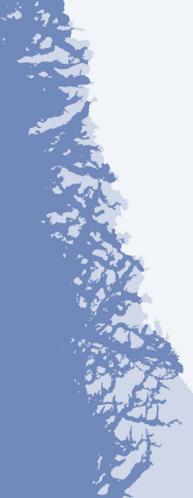
Devil's Thumb is located in the central part of Kullorsuaq Island, an island in the northern part of Upernavik Archipelago, in Melville Bay, approximately 3 km (1.9 mi) to the north of the Kullorsuaq settlement.
...
Wikipedia

