Crown Prince Frederick Range
| Crown Prince Frederick Range | |
|---|---|
| Kronprins Frederik Bjerge | |

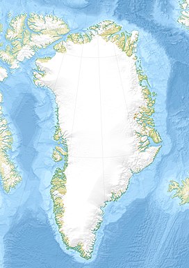
Defense Mapping Agency map of Greenland detail showing the area of the range.
|
|
| Highest point | |
| Elevation | 3,256 m (10,682 ft) |
| Dimensions | |
| Length | 120 km (75 mi) NE/SW |
| Width | 40 km (25 mi) NW/SE |
| Geography | |
| Country | Greenland |
| Range coordinates | 67°30′N 34°40′W / 67.5°N 34.67°WCoordinates: 67°30′N 34°40′W / 67.5°N 34.67°W |
The Crown Prince Frederick Range (Danish: Kronprins Frederik Bjerge) is a large mountain range in King Christian IX Land, eastern Greenland. Administratively this range is part of the Sermersooq Municipality.
The Crown Prince Frederick Range was first surveyed by Sir Martin Lindsay in 1934 during the British Trans-Greenland Expedition and was named after the Crown Prince Frederick of Denmark (1899 – 1972) who would be crowned King Frederick IX in 1947. The expedition crossed Greenland from west to east, and succeeded in fixing the positions of many other important features including Gunnbjørnsfjeld, the highest point in Greenland. On the return journey the team headed south-west to Amassalik and on their journey discovered the extent of the Crown Prince Frederick Range. Lindsay's expedition set a new world record after travelling 1,050 mi (1,690 km) on sleds, 700 of which were through hitherto unexplored territory.
Following Martin Lindsay's pioneering venture few expeditions visited the range which remained almost consigned to oblivion for many decades. Finally in 1995 the first guided icecap journey through the range was organized and the following year, in July and August 1996, a number of the main summits of the range were climbed for the first time by members of the Tangent British East Greenland Expedition, including Paul Walker. The expedition set up its base camp at 67°11′56″N 35°6′30″W / 67.19889°N 35.10833°W and from there climbed a total of 55 peaks.
...
Wikipedia

