Chimborazo (volcano)
| Chimborazo | |
|---|---|

The summit of Chimborazo, the point on the Earth's surface that is farthest from the Earth's center.
|
|
| Highest point | |
| Elevation | 6,263.47 m (20,549.4 ft) |
| Prominence | 4,118 m (13,510 ft) Ranked 18th |
| Isolation | 846 kilometres (526 mi) |
| Listing |
Country high point Ultra |
| Coordinates | 01°28′09″S 78°49′03″W / 1.46917°S 78.81750°WCoordinates: 01°28′09″S 78°49′03″W / 1.46917°S 78.81750°W |
| Geography | |
| Parent range | Andes, Cordillera Occidental |
| Topo map | IGM, CT-ÑIV-C1 |
| Geology | |
| Age of rock | Paleogene |
| Mountain type | Stratovolcano |
| Last eruption | 550 CE ± 150 years |
| Climbing | |
| Easiest route | Glacier/snow climb PD |
Chimborazo (Spanish pronunciation: [tʃimboˈɾaso]) is a currently inactive stratovolcano in the Cordillera Occidental range of the Andes. Its last known eruption is believed to have occurred around 550 C.E.
With a peak elevation of 6,263 m (20,548 ft), Chimborazo is the highest mountain in Ecuador. It is the highest peak near the equator. Chimborazo is not the highest mountain by elevation above sea level, but its location along the equatorial bulge makes its summit the farthest point on the Earth's surface from the Earth's center.
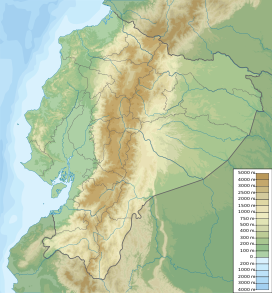
Chimborazo is in the Cordillera Occidental of the Andes of central Ecuador, 150 km (93 mi) south-southwest of the capital Quito. It is a neighbor to 5,018 m high Carihuairazo. Chimborazo's summit rises 2,500 m above the surrounding highlands (~3,500 to 4,000 m) with a ≈20 km wide base.
Under clear conditions, the summit of Chimborazo can be seen from the coastal city Guayaquil, nearly 140 km away. The nearest cities are Riobamba (~30 km to the southeast), Ambato (~30 km to the northeast) and Guaranda (~25 km to the southwest). Chimborazo is surrounded by the Reserva de Produccion Faunistica Chimborazo, which forms a protected ecosystem to preserve the habitat for the Andes native camelids of vicuña, llama and alpaca.
...
Wikipedia

