Castella, Victoria
|
Castella Victoria |
|||||||||||||
|---|---|---|---|---|---|---|---|---|---|---|---|---|---|

Aerial view from north
|
|||||||||||||
| Coordinates | 37°31′29″S 145°26′00″E / 37.52472°S 145.43333°ECoordinates: 37°31′29″S 145°26′00″E / 37.52472°S 145.43333°E | ||||||||||||
| Population | 344 (2011 census) | ||||||||||||
| Postcode(s) | 3777 | ||||||||||||
| LGA(s) | Shire of Murrindindi | ||||||||||||
| State electorate(s) | Eildon | ||||||||||||
| Federal Division(s) | Indi | ||||||||||||
|
|||||||||||||
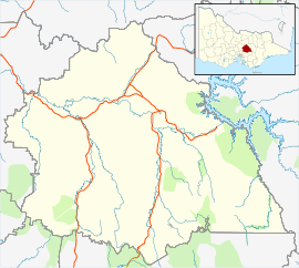
Castella is a small town in Victoria Australia. It lies to the east of Kinglake at the intersection of the Melba Highway and the Healesville Kinglake Road. At the 2011 Census, Castella had a population of 344.
The Castella Quarries produces sandstone and crushed rock. One of the quarries was used to dump the drillings from a tunnel under the Toolangi State Forest. This tunnel is part of the Sugarloaf Pipeline, carrying freshwater to Melbourne from the Goulburn River.
...
Wikipedia

