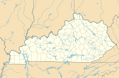
Cane Run Station
| Cane Run Station | |
|---|---|

Cane Run Station viewed from the Louisville Loop bike trail
|
|
| Country | United States |
| Location | Louisville, Kentucky |
| Coordinates | 38°10′N 85°52′W / 38.17°N 85.87°WCoordinates: 38°10′N 85°52′W / 38.17°N 85.87°W |
| Commission date | 1962 |
| Owner(s) | Louisville Gas and Electric |
| Thermal power station | |
| Primary fuel | Bituminous coal |
| Cooling source | Ohio River |
| Power generation | |
| Units operational | 3 |
| Nameplate capacity | 645 MW |
The Cane Run Generating Station is a coal-fired power plant owned and operated by Louisville Gas and Electric. It is 10 miles (16 km) southwest of Downtown Louisville, Kentucky, in its Pleasure Ridge Park neighborhood.
...
Wikipedia

